
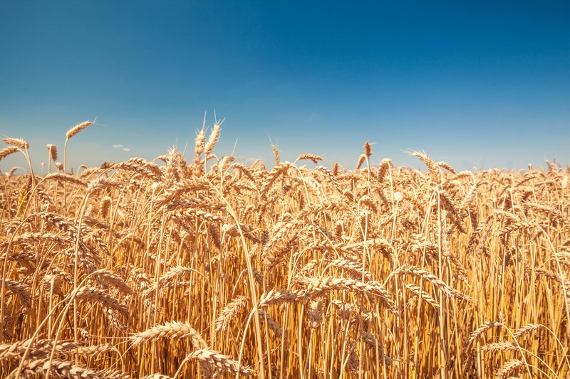
Rwandan agriculture sector accounts for 33% of the national GDP and employs 70% of the population. Though it is the mainstay of the country’s economy, the agricultural sector presents a strong dependence on rainfalls and vulnerability to climate shocks. Notably, excessive rainfalls that lead to floods, landslides, land degradation and/or soil erosion, prolonged drought, windstorms, adding to pests and diseases. Index-based crop insurance is one of the key tools to mitigate agricultural risks and unpredictable crop losses, thus improve farmer resilience against climate change and increase access to agro-financial services. The most prevalent index-based insurance products are area yield index insurance (AYII) and weather index insurance (WII). These insurance products require historical and current data on weather and crop yields. The use of EO data could not only provide information on crop health and yield, but also crops that have been affected/damaged by weather (excessive rainfall or prolonged drought), over time.
Story 1: Agricultural Expert (Local Government)
Through AfriCultuReS services, I would like to access both the map and charts/graphs-based interfaces of the AfriCultuReS services with simplified map/graph interaction options:
- Different vegetation indices maps (NDVI, LAI, VCI), the soil moisture estimates maps, rainfall estimates historical maps.
- The CRop Early Warning (CREW) maps including:
-Crop status alert based on a combination of vegetation index,
temperature, and precipitation.
-(Crop-specific) seasonal prediction of extreme weather events such
as drought, floods or sowing date shift for maize, rice, or Irish
potatoes.
- Crop (seasonal) yield prediction.
- Generated printable (.pdf/jpeg) maps or charts.
Relevant AfriCultuReS Products:
Crop Condition Monitoring - (AfriCRS-S2-P02)
Crop Condition Monitoring (Dashboard) - (AfriCRS-S2-P02)
Crop Early Warning - (AfriCRS-S2-P06)
Story 2: Researcher/Scientist
Through AfriCultuReS services, I would like to access advanced map/graph interaction options, data and metadata through web services (with the purpose of carrying out further data analysis).
-Different vegetation indices maps (NDVI, LAI, VCI),
-Soil Moisture Estimates
-Rainfall Estimates
-Crop Production/Yield
Required AfriCRS Products:
Crop Condition Monitoring - (AfriCRS-S2-P02)
Soil Moisture Monitoring - (AfriCRS-S6-P03)
Seasonal Climate Forecast and Early Warnings - (AfriCRS-S1-P02)