
The Water Bodies (WB) mapping service concerns the detection of the areas covered by inland water (WB delineation). The area covered by WBs is identified as an Essential Climate Variable (ECV) by the Global Climate Observing System (GCOS). The mapping of WBs over certain periods of interest (e.g. over a year) provides the maximum and the minimum extent of the water surface, as well as the seasonal dynamics. The assessment of extent and seasonal occurrence of WBs can allow the monitoring and prediction of freshwater availability to populations and livestock, the provision of advice for water use and irrigation activities, and the support of agricultural knowledge and information systems.
Water Bodies at Coarse Spatial Resolution 1km - Copernicus
Water Bodies maps at 1km spatial resolution. The product detects the areas covered by inland water for a specific 10-day period. This product is a federation from the PROBA-V based archived Copernicus GLS WB product (v.2), which is available until June 2020.
Water Bodies at Medium Spatial Resolution 300m - Copernicus Global Land Services
Water Bodies map at 300m spatial resolution. The product detects the areas covered by inland water at a specific 10-day period and provides the water occurrence over a time series. Water body occurrence is calculated for each detected WB pixel and gives an idea about the permanency or seasonality of the detected WBs. The occurence is added as extra layer (QL) in the final WB product. This product is a federation from the PROBA-V based Copernicus GLS WB product (v.1) , which is available until September 2020.
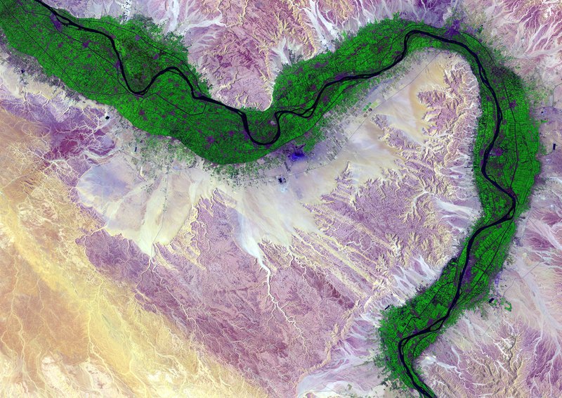
Water Bodies at High Spatial Resolution 100m - Copernicus Global Land Services
Water Bodies map at 100m spatial resolution. The product consists in monthly maps as service federated from the Copernicus GLS. It provides the inland water extent and the water occurrence. Water body occurrence is calculated for each detected WB pixel and gives an idea about the permanency or seasonality of the detected WBs. The occurence is added as extra layer (QL) in the final WB product. This product is a federation from the Sentinel-2 based Copernicus GLS WB product (v.1). The dataset is available since October 2020.
- Water Bodies at high resolution 100m - Copernicus Global Land Services, Niger
- Water Bodies at high resolution 100m - Copernicus Global Land Services, Ghana
- Water Bodies at high resolution 100m - Copernicus Global Land Services, Tunisia
- Water Bodies at high resolution 100m - Copernicus Global Land Services, South Africa
- Water Bodies at high resolution 100m - Copernicus Global Land Services, Ethiopia
- Water Bodies at high resolution 100m - Copernicus Global Land Services, Mozambique
- Water Bodies at high resolution 100m - Copernicus Global Land Services, Rwanda
- Water Bodies at high resolution 100m - Copernicus Global Land Services, Kenya
Water Bodies at High Spatial Resolution 10m
Water Bodies map at 10m spatial resolution. The product will be delivered for specific sites with a temporal resolution of 6 to 12 days, depending on the availability of Sentinel-1 data used as input. The output is a binary map with presence or absence of water.