
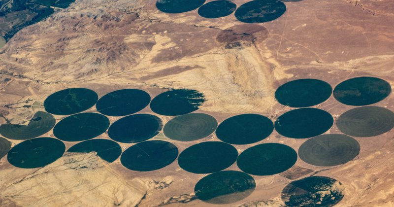
The water consumption monitoring service consists in providing estimations of actual evapotranspiration (ETa). Evapotranspiration is a significant process that drives the energy and water exchange between the atmosphere and the land surface and is defined as the sum of evaporation and crop transpiration. Actual evapotranspiration is a good estimate of water consumption in large heterogeneous areas where limited information is available. Quantitative information on ETa is important as it is related to plant growth, depletion of water resources, energy and gas fluxes. At large spatial scales ET estimations are crucial to understand land and atmosphere interactions in the context of global warming thus an ETa anomaly layer is provided extra.
Evapotranspiration Anomaly at Coarse Spatial Resolution 5.6km - USGS FEWS
Map of actual evapotranspiration anomaly at a spatial resolution of 5.6 km. The product is a federation of the USGS FEWS ETa anomaly maps with a monthly time step. The monthly ETa anomaly product is the ratio of ETa and the corresponding median ETa over the period 2003 –2015. ETa v4 is produced using the operational Simplified Surface Energy Balance (SSEBop) model (G. B. Senay, Budde, & Verdin, 2011).
Actual Evapotranspiration at coarse resolution 3km - LSA-SAF
Map of Daily Evapotranspiration (DMET) at 3km spatial resolution. The product is a federation of the MSG DMET dataset produced by the framework of the LSA-SAF consortium, the EUMETSAT Satellite of Satellite Application Facilities. DMET v2 (product LSA-312) is produced at the SEVIRI spatial resolution. DMET pixel values are the integration over the whole day of instantaneous values.
Actual Evapotranspiration at medium resolution 250m - FAO-WaPOR
Map of Actual EvapoTranspiration and Interception (AETI) at 250m spatial resolution.The product is a federation of the FAO WaPOR AETI product through the FRAME Consortium consisting of eLEAF, VITO, ITC and the Waterwatch Foundation. The product is provided every dekad over the whole african continent.
Actual Evapotranspiration at high resolution 100m - FAO-WaPOR
Map of Actual EvapoTranspiration and Interception (AETI) at 100m spatial resolution.The product is a federation of the FAO WaPOR AETI product through the FRAME Consortium consisting of eLEAF, VITO, ITC and the Waterwatch Foundation. The product is provided every dekad.
- Actual Evapotranspiration at high resolution 100m - FAO-WaPOR, Tunisia
- Actual Evapotranspiration at high resolution 100m - FAO-WaPOR, Mozambique
- Actual Evapotranspiration at high resolution 100m - FAO-WaPOR, Kenya
- Actual Evapotranspiration at high resolution 100m - FAO-WaPOR, Ethiopia
- Actual Evapotranspiration at high resolution 100m - FAO-WaPOR, Ghana
- Actual Evapotranspiration at high resolution 100m - FAO-WaPOR, Rwanda