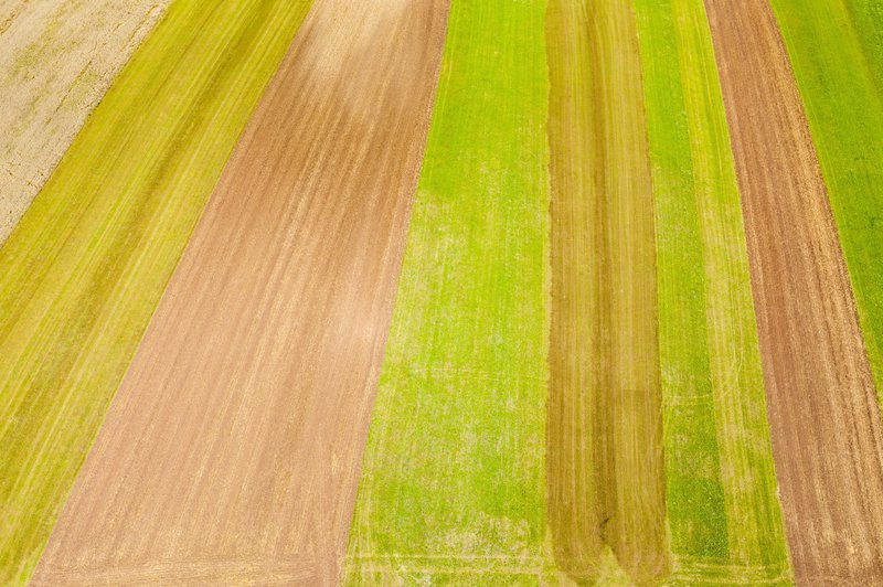
Multi-scale historical and on-the-go crop assessment and monitoring coupled with yield forecasts provide the basis for evidence based decision making on food security. Historical records facilitate better understanding of the agricultural land use dynamics leading to the current situation, and the main factors affecting food production in a given area. Current and seasonal maps on crop land use and main crops grown, allow the precise identification, location and acreage of production areas. These maps can be subsequently combined with other products, crop condition maps, to produce enriched information. These inputs are a cornerstone, for example, for planning and prioritization of zonal interventions aiming at the improvement of the crop production conditions or to cope with food production shortages.


