
Introduction
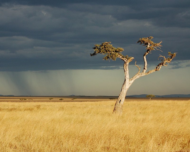
It is a right for pastoralists and a duty for decision-makers to ensure better resilience of agro-pastoralists in the face of climate risks and conflicts. The dissemination of information derived from satellite images is a good way to achieve this. AGRHYMET has set up a regional pastoral information service based on the use of land observation data. The service aims to provide information to producers in the field for their decision-making in order to reduce agro-climatic risks. To do this, a survey was carried out on pilot sites in Niger in order to know the needs of users in terms of information, channels and reception format. Producers need to receive, as a priority, information on the seasonal forecast, rainfall amounts, the dates of the start of the seasons, the dry sequences and the availability of water for livestock watering and fodder biomass. Producers need to have all this information in their local languages.
Story 1. -
-> FILL THE USER STORY HERE! <-
For Crop Health and Monitoring:
AfriCRS-S2-P06 - Crop Early Warning
AfriCRS-S2-P02 - Crop Condition Monitoring
AfriCRS-S2-P01 - Crop Type Monitoring
AfriCRS-S2-P03 - Crop Yield Forecast
For Drought Risk Assessment:
AfriCRS-S3-P01 - Seasonal Drought Forecast
For Extreme Weather Risk Assessment:
AfriCRS-S1-P02 - Seasonal Climate Forecast and Early Warning
For Water Resources Assessment:
AfriCRS-S6-P01 - Water Bodies Mapping
For Climate Chane Modelling, Monitoring and Adaptation:
AfriCRS-S1-P03 - Decadal Climate Change Predictions
AfriCRS-SS1-P04 - Long-term Climate Change Projections
For Pasture and Water Bodies Identification and Monitoring:
AfriCRS-S6-P01 - Water Bodies Mapping
AfriCRS-S2-P02 - Grazing and Rangeland Condition Monitoring
AfriCRS-S5-P01 Grazing and Rangeland Mapping