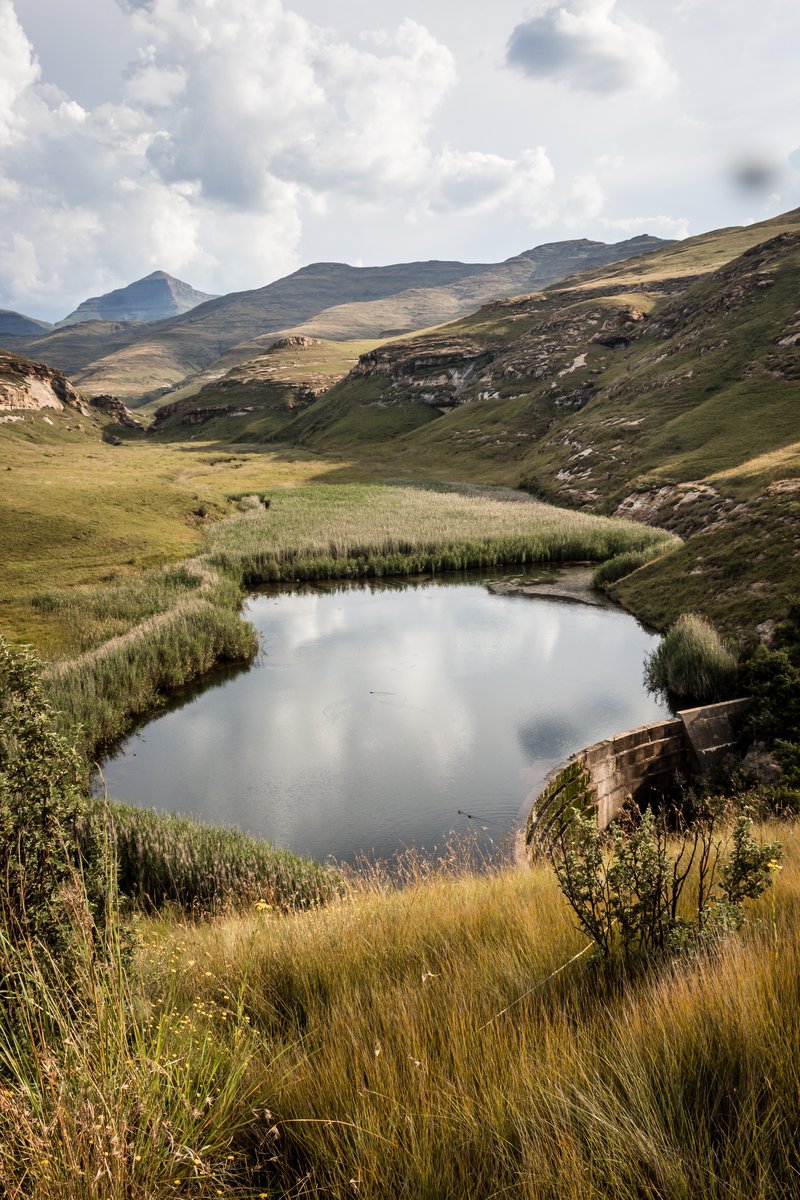
Water monitoring requires a historical analysis to generate insights for trends. The pilot areas can be applied in Kenya Rift Valley lakes, assessing their change in extent overtime, as well as their water quality, while validating with the existing collected and tabulated data. The goal should be to refine the Earth Observation techniques and calibrating the models to match the field outputs. Thereafter, the method can be continuously applied in monitoring the water extent and quality of the water bodies even at regional scale (Eastern Africa).

Story 1
The system should show water indices that monitors quality and extent overtime. The generated geo outputs should be visualized cartographically and represented in a way that is easy to distinguish between the various features, while understanding the difference in analysis from preceding years. The outputs should then be statistically summarized to showcase changes overtime. The statistics should be utilized in understanding trends of extent and quality, while providing anomalies, the high extremes and the low extremes as well.
Relevant AfriCultuReS Products:
Water Bodies Mapping - (AfriCRS-S6-P01)
