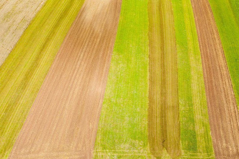
High resolution crop type mapping’s objectives is to improve the timing and the reliability of crop maps, either by integrating biophysical variables in the classification or combining multiple data sources. The crop type masks allow to improve both crop acreage and yield estimates that in turn will provide production forecasts, amongst other applications. The map is based on Sentinel-2 images time series. The map provides the distribution of following crops: 1 = Barley, 2 = Bean, 3 = Cassava, 4 = Maize, 5 = Rice, 6 = Sorghum, 7 = Sugarcane, 8 = Wheat.

S2-P01: Crop Type Mapping : List of Layers
Layer Description:
High resolution map of the country main crops delivered once at year. The product consists in a single layer containing an integer number (from 1 to 8)corresponding, according to a given legend, to the crop type present in the pixel. The product covers selected areas
Crop Type Map – (Jendouba)
Crop Type Map – (Nakuru)
Crop Type Map – (Eastern Rwanda)
