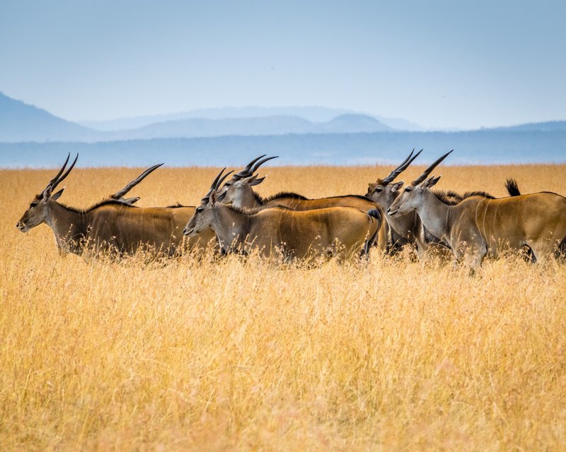
Rangelands management is an important component of the local economies sustainable livestock farming depends on it. However, the changes in land-use activities impacts on the availability of the grazing and browsing resources. Characterisation of these grazing and browsing resources is significant for policy- and decision-making and proper management of rangelands to ensure their sustainability amid changing climate and anthropogenic pressures. The Grazing and Rangeland Mapping products provide spatially-explicit information on the distribution and characteristics of rangelands overtime.

S5-P01: Grazing and Rangeland Mapping : List of Layers
- Rangeland Mask, 1x1 km, Africa
- Rangeland Mask, 30x30 m, Ethiopia
- Rangeland Mask, 30x30 m, Mozambique
- Rangeland Mask, 30x30 m, South Africa
- Rangeland Mask, 30x30 m, Niger
- Rangeland Mask, 30x30 m, Tunisia
- Rangeland Mask, 30x30 m, Ghana
- Rangeland Mask, 30x30 m, Kenya
