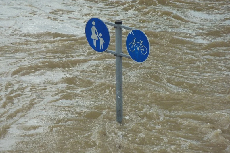
This EO service is dedicated to the identification, mapping and analyses of flood events and flooding potential. It supports a broad range of services comprising the continual monitoring of flooding, the delineation of historical flooding events, the identification of flooded or unflooded (i.e. safe). By integrating soil moisture data with precipitation data within river basins, system conditions conducive for flooding can be determined and used as a vital input for the forecasting of potential flooding.