
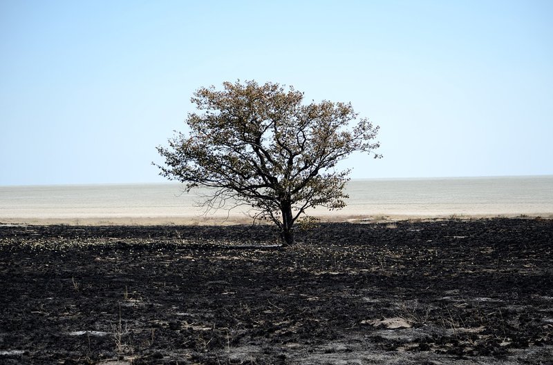
Burned Areas Mapping service use multi-temporal RS datasets, opportunely processed and elaborated, that allow to map burned areas, giving an effective support to estimate damages and plan management. This service provides maps of burned areas at two spatial resolutions for regional or local analysis: medium = 300m (based on PROBA) and high = 20m (based on Sentinel-2). The service allows to assess the annual trend in the burning of vegetation by accumulating the medium resolution burnt area maps provided by the mapping service. The service consists of different layers, depending on its spatial resolution.
Burned Area Mapping (BA), 300x300m
This product aims at providing information on the Burned Areas (BA). The service provides a two-bands raster, in geotiff format. Band 1 contains four values: 0 = unburned pixels, 1 = burned pixels, -1100 = water bodies, -1111 = out of ROI. Band 2 provides the number of images (from 1 to 10) used to identify burned areas.
- Burned area mapping (BA), 300x300m, Africa
- Burned area mapping (BA), 300x300m, Ethiopia
- Burned area mapping (BA), 300x300m, Ghana
- Burned area mapping (BA), 300x300m, Kenya
- Burned area mapping (BA), 300x300m, Mozambique
- Burned area mapping (BA), 300x300m, Niger
- Burned area mapping (BA), 300x300m, Rwanda
- Burned area mapping (BA), 300x300m, South Africa
- Burned area mapping (BA), 300x300m, Tunisia
Accumulated Burned Area mapping (BAcc), 300x300m
This product aims at providing information on the Accumulated Burned Areas (BA) from the first day of the year to the current date. The service provides a single-band raster, in geotiff format. The file contains four values: 0 = unburned pixels, 1 = burned pixels, -1100 = water bodies, -1111 = out of ROI.
- Accumulated Burned Area mapping (BAcc), 300x300m, Africa
- Accumulated Burned Area mapping (BAcc), 300x300m, Ethiopia
- Accumulated Burned Area mapping (BAcc), 300x300m, Ghana
- Accumulated Burned Area mapping (BAcc), 300x300m, Kenya
- Accumulated Burned Area mapping (BAcc), 300x300m, Mozambique
- Accumulated Burned Area mapping (BAcc), 300x300m, Niger
- Accumulated Burned Area mapping (BAcc), 300x300m, Rwanda
- Accumulated Burned Area mapping (BAcc), 300x300m, South Africa
- Accumulated Burned Area mapping (BAcc), 300x300m, Tunisia
Land Cover Burned Area (LCBA), 300x300m
This product provides, in percentage, the vegetated type covering the burnt pixel. The vegetation types involved in the fire has been computed by using a 100m spatial resolution land cover. Pixel values range from 0 to 900 derives from the formula: LCBA = Crop*100 + Pasture*10 + Forest. Where each digit represents the percentage (x10) of the respective class: Crop, Pasture and Forest. Other values are: -1100 = water bodies, -1111 = out of ROI.
- Land Cover Burned Area (LCBA), 300x300m, Africa
- Land Cover Burned Area (LCBA), 300x300m, Ethiopia
- Land Cover Burned Area (LCBA), 300x300m, Ghana
- Land Cover Burned Area (LCBA), 300x300m, Kenya
- Land Cover Burned Area (LCBA), 300x300m, Mozambique
- Land Cover Burned Area (LCBA), 300x300m, Niger
- Land Cover Burned Area (LCBA), 300x300m, Rwanda
- Land Cover Burned Area (LCBA), 300x300m, South Africa
- Land Cover Burned Area (LCBA), 300x300m, Tunisia
Map of the vegetated burned area (BA), 20x20m
This product provides information on the vegetated Burned Areas (BA) excluding the agricultural ones. The service provides a two-band raster, in geotiff format. The Band 1 contains the Relativized Burn Ratio (RBR) values (from 0.16 to 2.1), and the Band 2 gives the level of damage severity (from 0 to 3).
- Map of the vegetated burned area (BA), 20x20m
- Map of the vegetated burned area (BA), 20x20m
Map of the burned crop area (CCBA), 20x20m
This product aims at providing information on cultivated Burned Areas (BA). The service provides a two-band raster, in geotiff format. The Band 1 contains the Relativized Burn Ratio (RBR) values (from 0.16 to 2.1), and the Band 2 gives the level of damage severity (from 0 to 3).
- Map of the burned crop area (CCBA), 20x20m
- Map of the burned crop area (CCBA), 20x20m